GIS stands for Geoinformation System or Geographic Information System. A GIS is a system of hardware, software, data and its users for the collection, processing, analysis and presentation of spatial data.
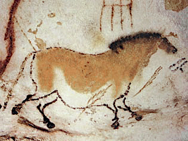
As early as about 15,500 years ago, Cro-Magnon hunters drew pictures of their prey on the walls of the Lascaux cave. Along with the animal images, the hunters also depicted the migration routes of these animals using path and line drawings. Thus, these early representations contain two elements of the structure of modern geoinformation systems, an image linked to attribute information.
Geoinformation systems are used in many fields, including geography, environmental research, archaeology, marketing, tourism, cartography, urban planning, criminology (crime maps), logistics, resource management and health care.